
- Details
- Mehr Bilder
Buchbeschreibung
(London), Stanford's Geogl. Estabt. 1876.
99 x 187 cm., folded to 27 x 22 cm, dissected and mounted on linen, Scale 1:1,000,000. (E 14°00'00"--E 34°00'00"/S 26°00'00"--S 34°30'00"), Leinenmappe, Befestigung am hinteren Spiegel.
Guter Zustand, Decke leicht fleckig, Rücken etwas vergilbt, papierbezug des vorderen Deckels im Falz aufgeplatzt, rotes 10 x 2 mm-Fleckchen am Kartenrand, Leinenrücken teilweise stärker braunfleckig, Darstellung sauber.
De Smidt's contributions to South African surveying were significant, including oversight of the 1876 Map of the Colony of the Cape of Good Hope and neighbouring territories (scale 1:1,000,000) and advocacy for advanced geodetic and topographical surveys that informed colonial expansion and later national efforts, such as David Gill's geodetic survey of South Africa.
Schlagworte:
[Landkarten, Afrika, South Africa-maps]
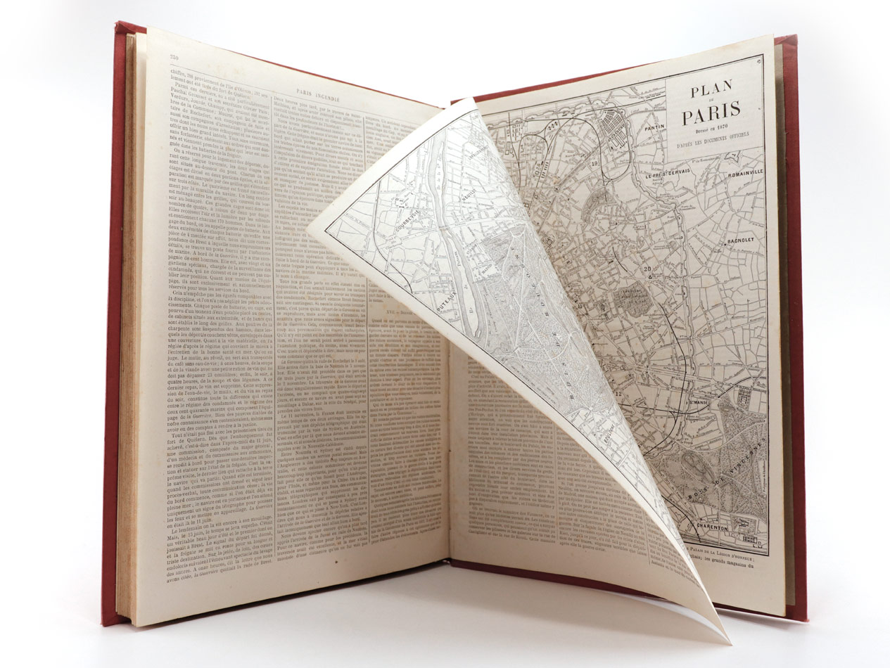
--- 01.12.2019 ---
Kategorien
Schnellkauf
Willkommen zurück!
Zuletzt angesehen

Versandland
Zahlungsmethoden

Sichere Zahlungsmethoden mit unserem Zahlungsdienstleister STRIPE.
informatio © 2026 | Template © 2009-2026 by modified eCommerce Shopsoftware